GEO Development, LTD
Reviews
- 2 in december 2020, 09:32
❝Profesionāli sniegti pakalpojumi❞
Add a rating and review
Business data
- EUR 312034 / 2024
- 7
- Service provider
Legal data
- 40003956979
- LV40003956979
- 21.09.2007
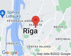
- Lapeņu iela 7, Rīga, LV-1013
- 2024
History of GEO Development:
GEO Development offers:
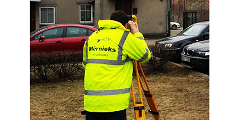
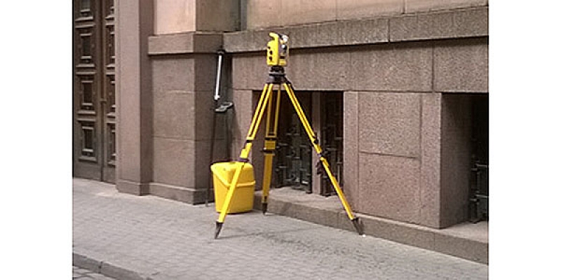
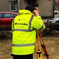
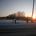
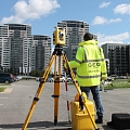
- Topographic measurements
- Topographical plan
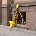
- Surveying
- Geodesic works
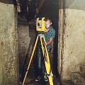
- Laser scanning
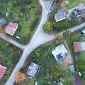
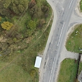
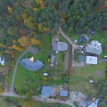
- Aerial photography
- 3D survey work
- Engineering geodetic works
- Land division, preparation of documents
Ltd. GEO Development is:
- Member of the Latvian Association of Cartographers and Geodesists;
- Registered in the Register of Construction Merchants with no. 10158-R.
Keywords
Surveyors, surveying, surveyor, land surveyors, topography, topographic survey, cartography, cartographer, surveying works, border surveying, cadastral survey, border surveying, land use, land use, land surveying, geodetic control mapping, executive schemes, building site maps, executive survey, performance of executive measurements, scheme preparation, construction axis, construction axis marking, geodesy, geodesist, geodesic works, topographical plan development, review plans of the property, geodetic monitoring of construction works, axis setting in nature, land distribution, ground splitting, land sharing, document keeping, preparation of documents for further land, for the exploitation of land, necessary act preparation, engineering geodesy, engineering geodetic works, utilities setting, engineering communication determination, engineering communication detailing, GPS support point installation, rappers installation, height point installation, geodetic support network installation, geodetic reference point installation, reference points, developed gravel pit volume calculation, calculation of area amount, protective zone determination, protective zone determination, track marking, geodetic research, topographic research, building demarcation, quality control, structure executive measurements, building supervision, 3D modeling of buildings, 3D survey work, aero photos,
aero photo services, aerial photo, aero photo capture, surveying works, 3D format, 3D projects, aerial photography, terrain aerial photography, aerial photography of objects, video filming from the air, drones, use of drones, unmanned aerial vehicles, 3D surveying, indoor instrumental surveying, 3D building surveying works, volume calculations, building 3D survey for design needs, 3D topographic plan drafting, laser scanning, high resolution 3D point cloud acquisition, indoor scanning, building monitoring, building facade visualization.