Intergeo Baltic, LTD
Reviews
Add a rating and review
Working time
- Sun-
- Mon900-1700
- Tue900-1700
- Wed900-1700
- Thu900-1700
- Fri900-1700
- Sat-
Business data
- EUR 704491 / 2024
- 10
Legal data
- 40103884728
- LV40103884728
- 27.03.2015
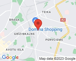
- Braslas iela 19, Rīga, LV-1084
- 2024
BIS.GOV.LV information
- Hidrotehnisko būvju būvdarbu vadīšana un būvuzraudzība
- Inženierizpēte
- Meliorācijas sistēmu būvdarbu vadīšana un būvuzraudzība
- 12854
- Aktīvs
Description
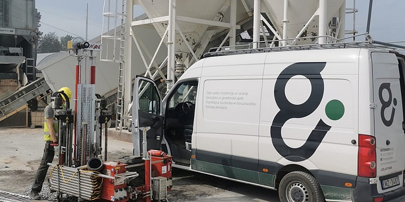
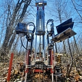
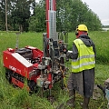
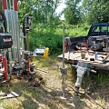
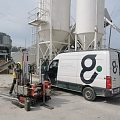
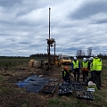
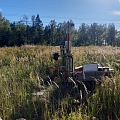
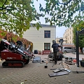
Geological, geotechnical and hydrogeological investigations. Environmental research and consulting - soil, groundwater pollution research. Topography and geodesy. Drilling works, Static and Dynamic sounding, CPT, DPSH, pore pressure measurement, Soil laboratory studies, Conducting sightings, Static slab testing. Preparation of career research and documentation. Decontamination ( restoration) and reclamation. Hydrotechnical and reclamation construction.
Keywords
Geology, Geological research, Engineering geology, Bore-holes, Bonding, Hydrogeological research, Geotechnical research, DPH, CPT, Geotechnical drilling, Vibrating drilling, Threaded drilling, Soil sampling, Core drilling, Drilling and sounding, Laboratory studies, Geotechnical mapping, Basic survey, Hydrogeological research, Hydrogeological modeling, Geotechnical modeling, Preparation of geotechnical investigation reports, Report, Geotechnical monitoring, Geotechnical consulting, Expert opinions, Static probing, Soil laboratory testing, Environmental research, Monitoring and modeling, Environmental pollution assessment, Rehabilitation and reclamation, Environment monitoring, Investigation of the contaminated site, Planning of rehabilitation works, Land amelioration, Hydro structures, Hydrotechnical structures, Improvement, Environmental quality measurements, Topography, Surveying, Designing of reclamation and hydrotechnical structures, Groundwater exploration, Testing overview, Testing, Appraisal of environmental impact, Groundwater level, Geotechnical mapping.
