Latvijasmernieks.lv, LTD
Photo 19


Working time
- Sun-
- Mon800-1700
- Tue800-1700
- Wed800-1700
- Thu800-1700
- Fri800-1700
- Sat-
Business data
- EUR 1568378 / 2025
- 41
- Service provider
Documents
Legal data
- 40003783960
- LV40003783960
- 22.11.2005
- Eduarda Smiļģa iela 2A, Rīga, LV-1048
- 2025
BIS.GOV.LV information
- 8811-R
- Aktīvs
Description
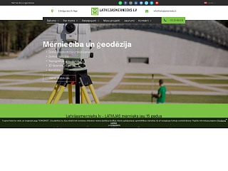
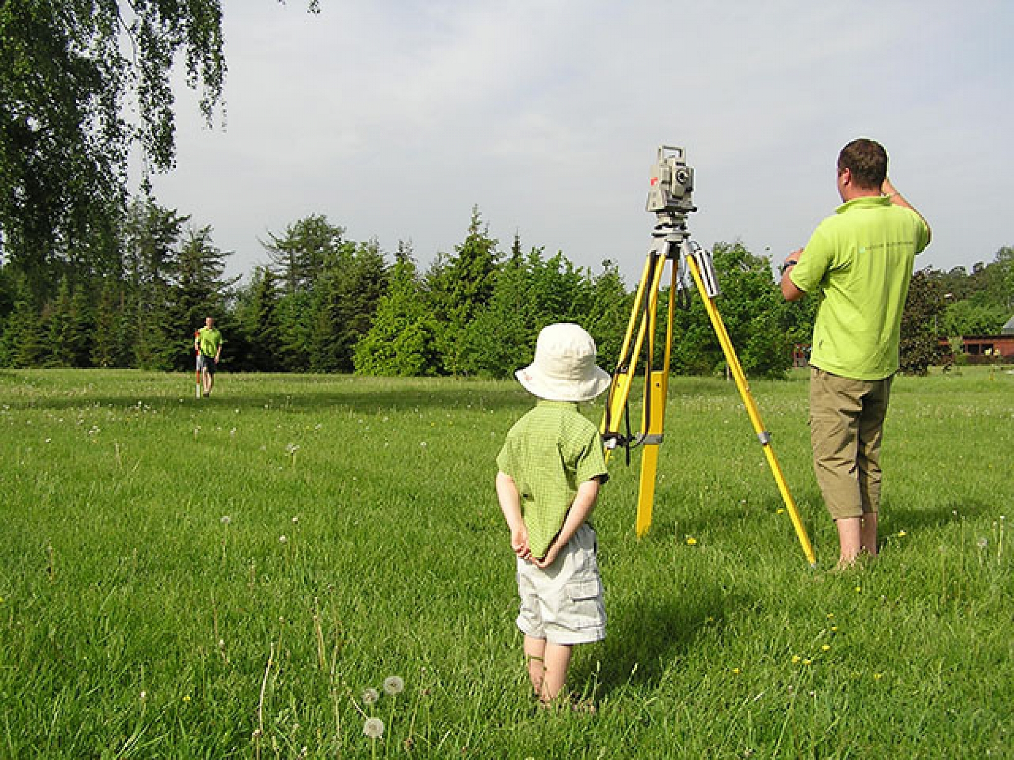
LTD "Latvijasmernieks.lv" is one of the leading and most experienced surveying companies for more than 15 years. An excellent, professional team is the key to our success.
Our employees are excellent specialists in their field, certified in all areas of land surveying, so we can offer complex and high-quality solutions.
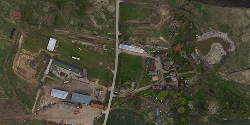
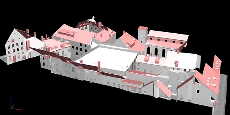
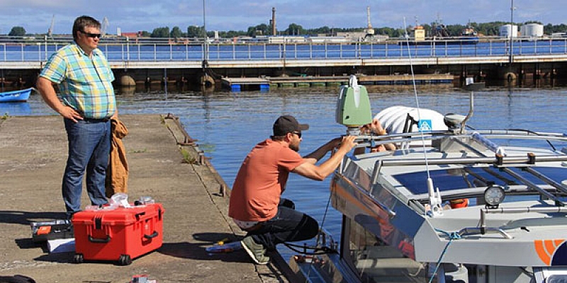
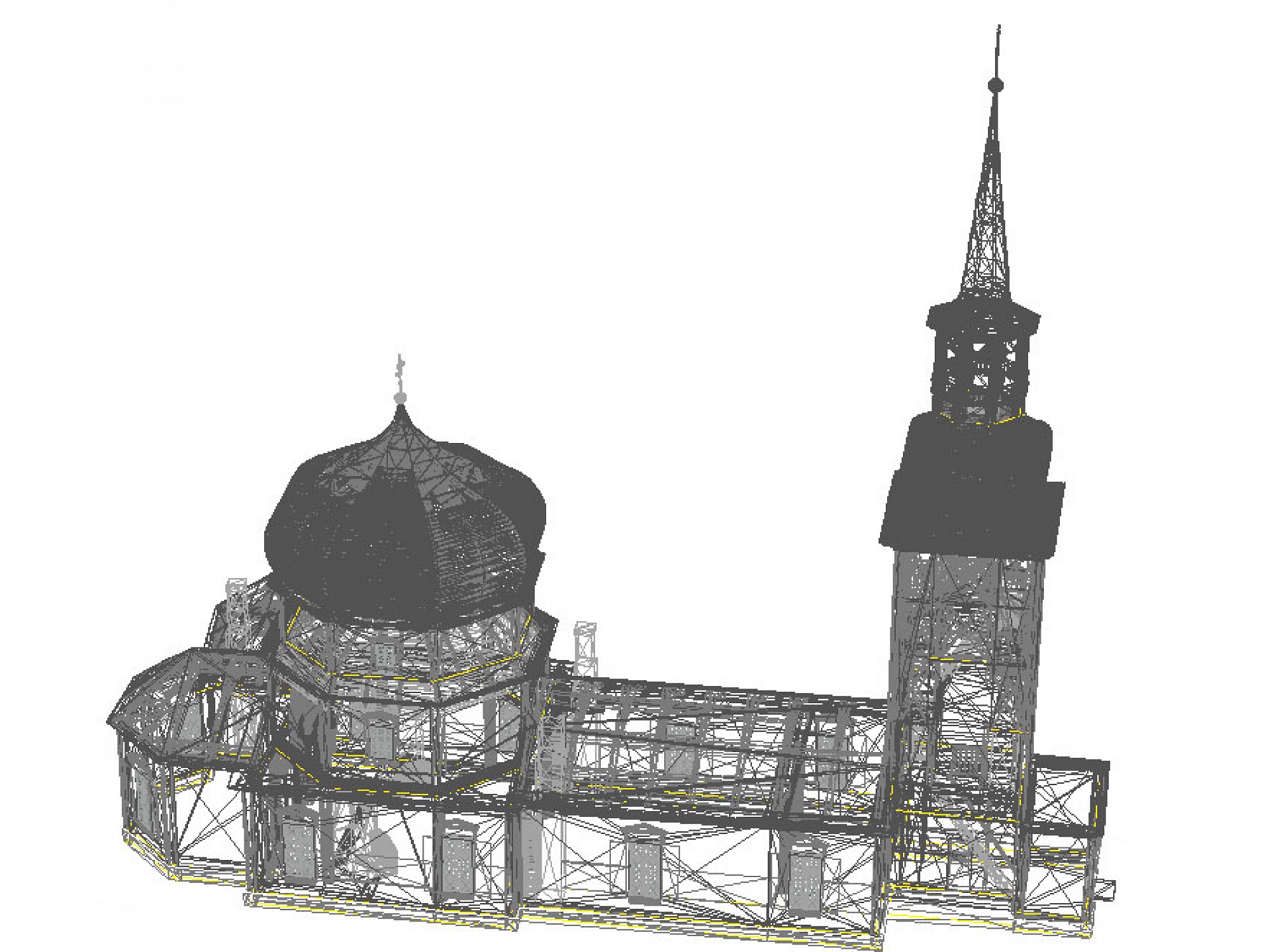
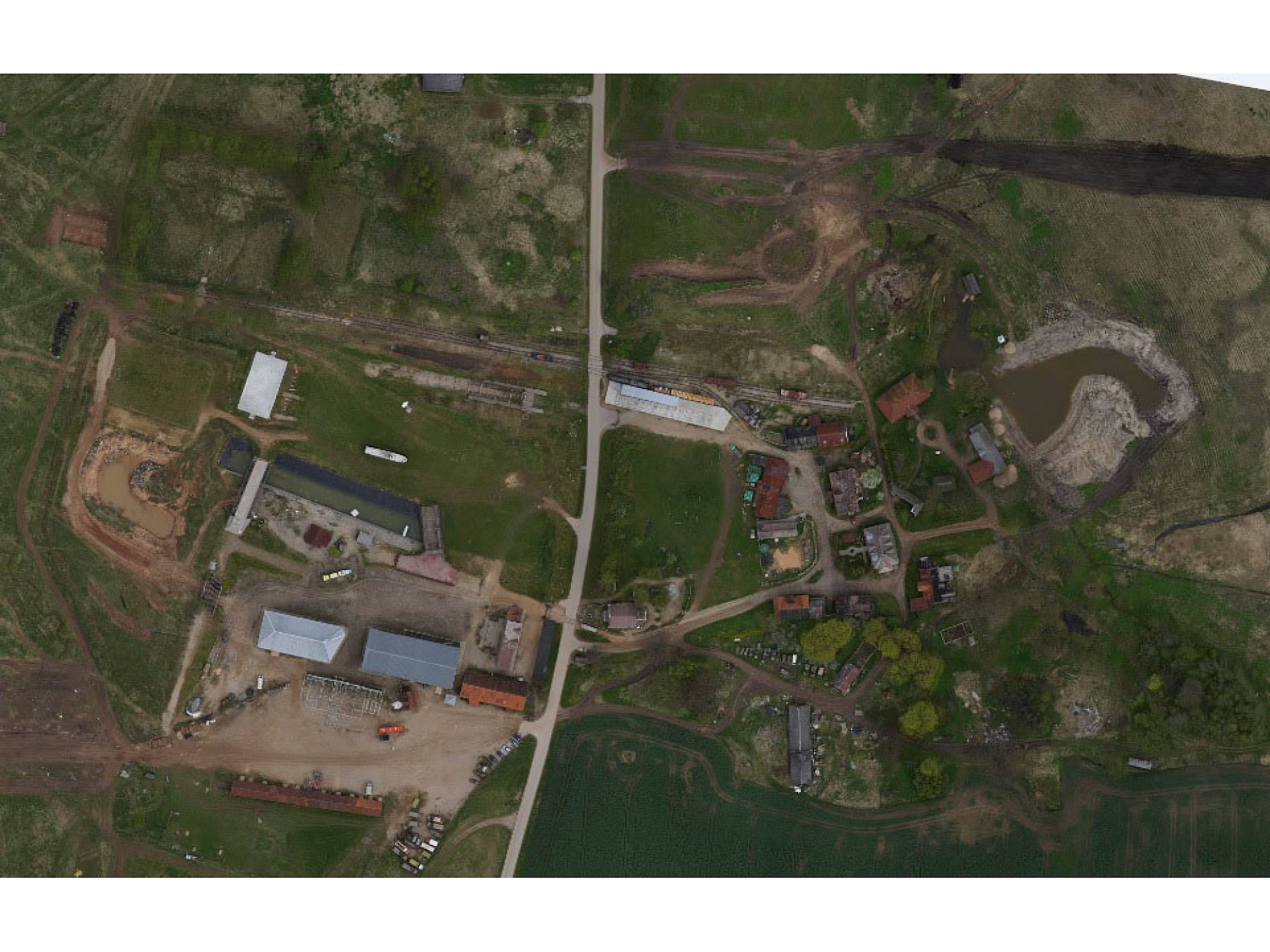
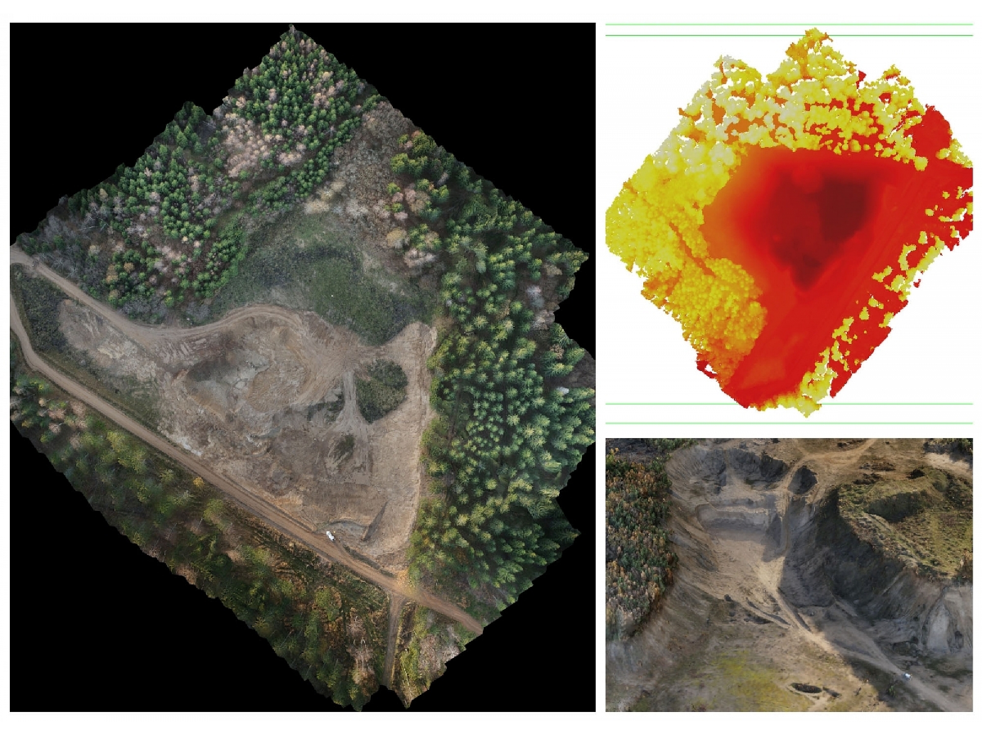
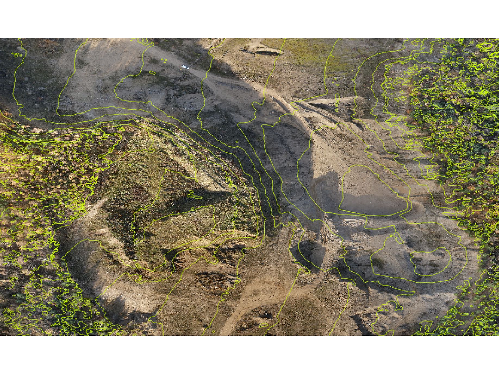
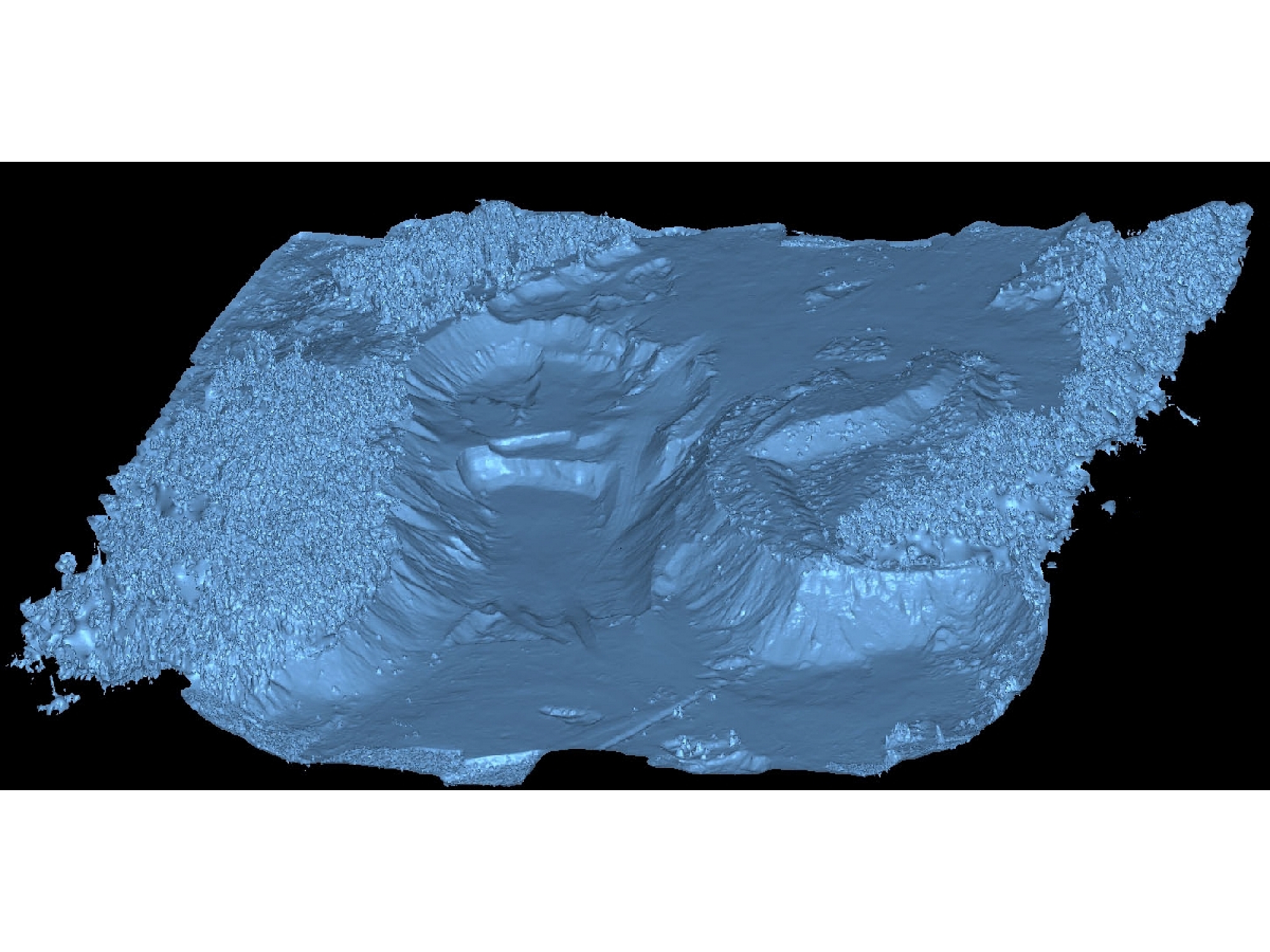
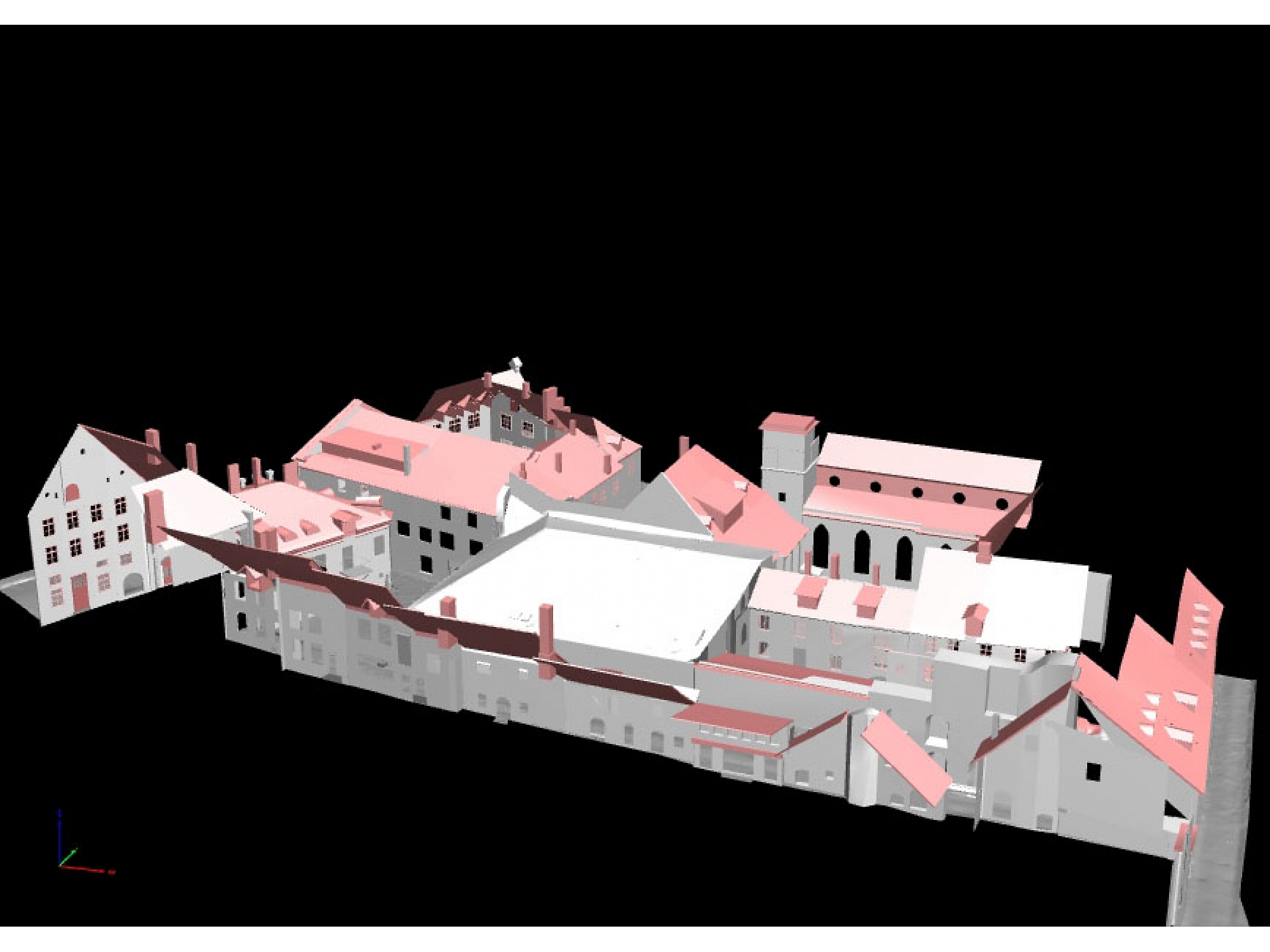
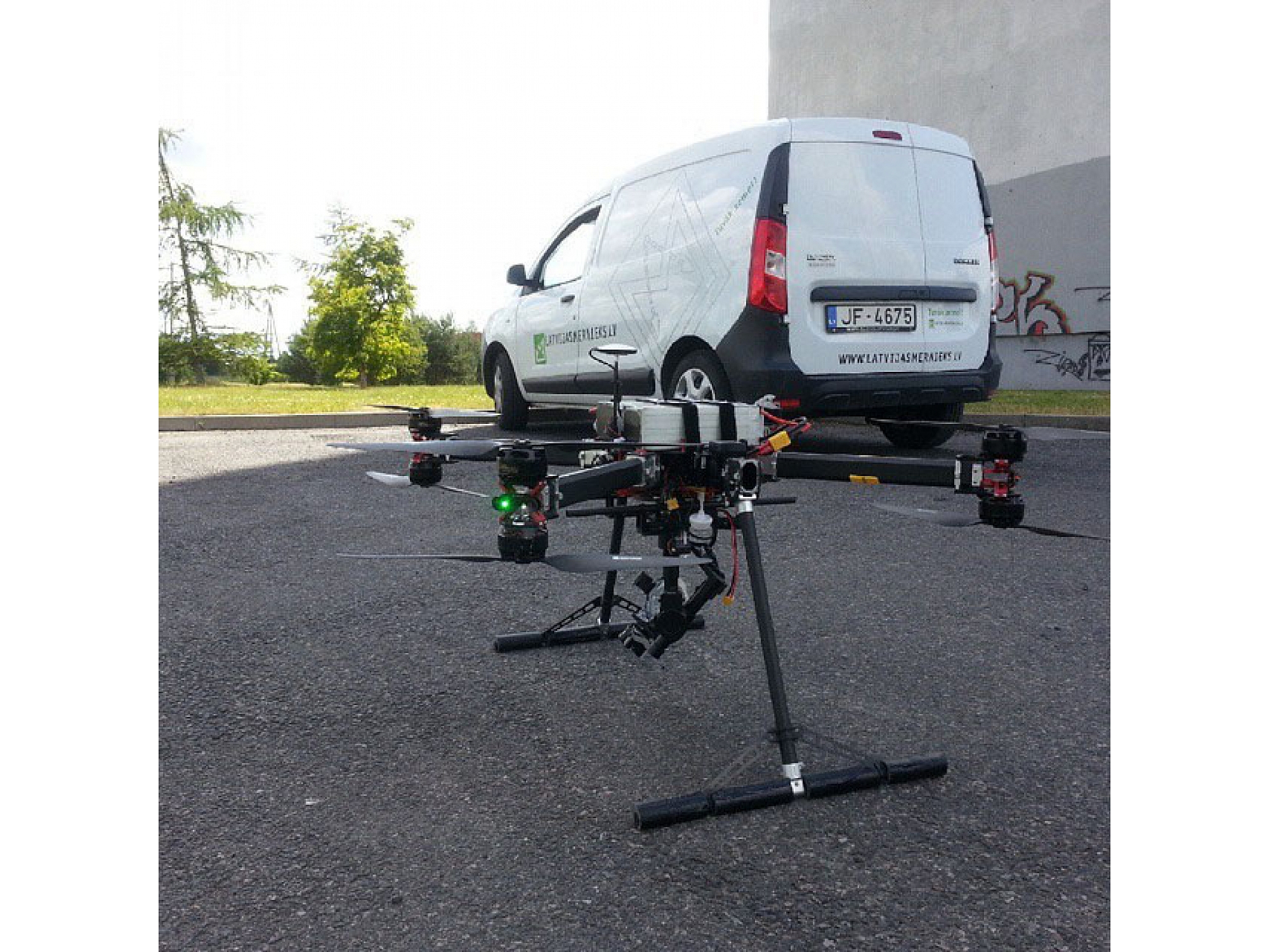
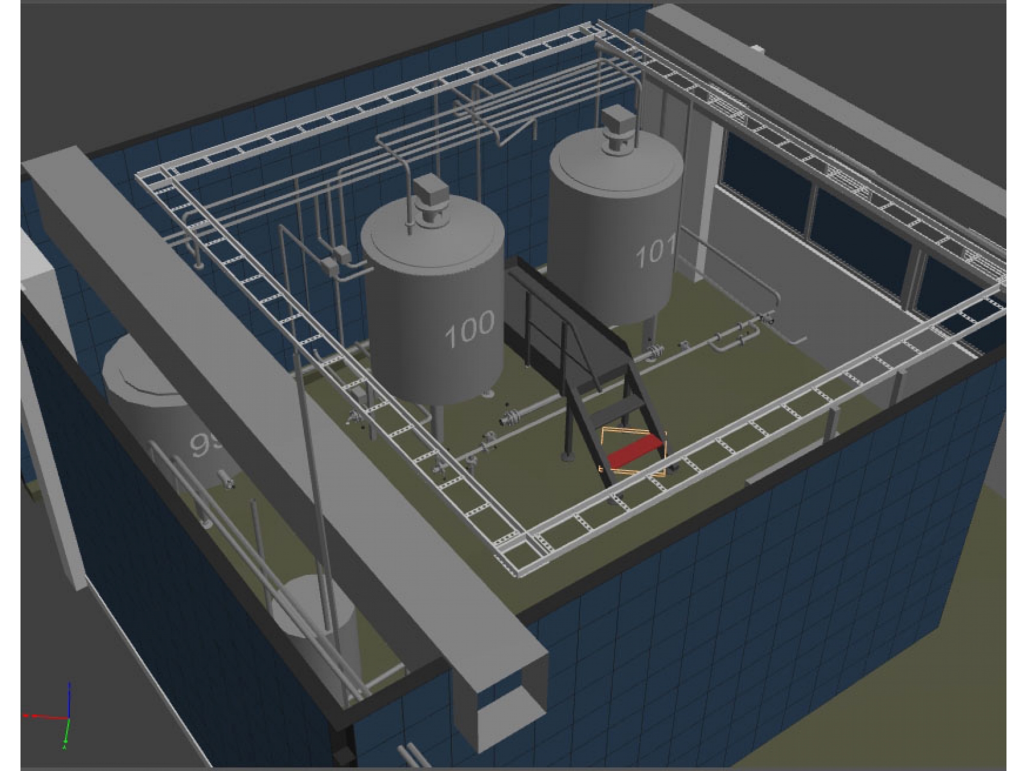
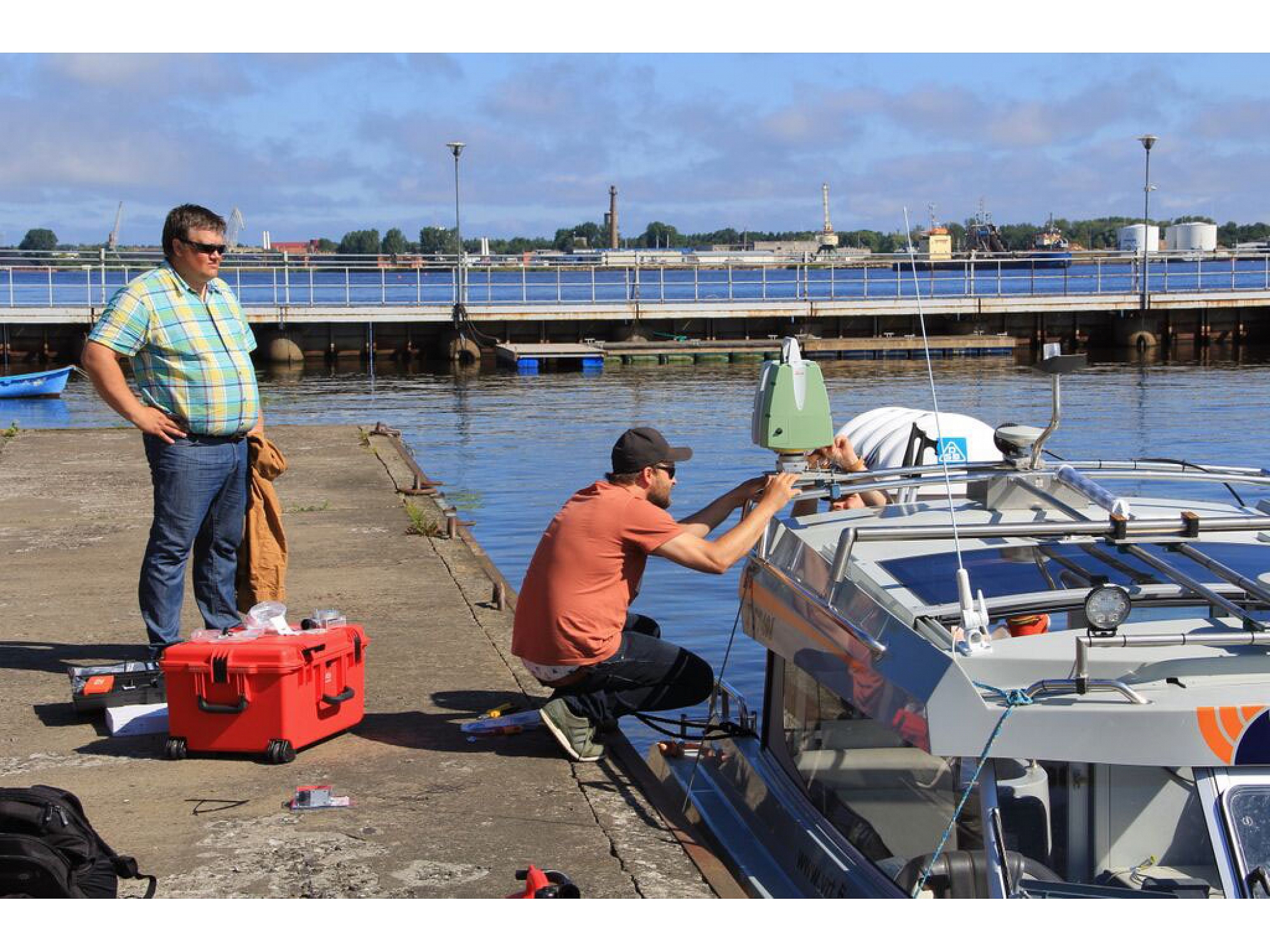
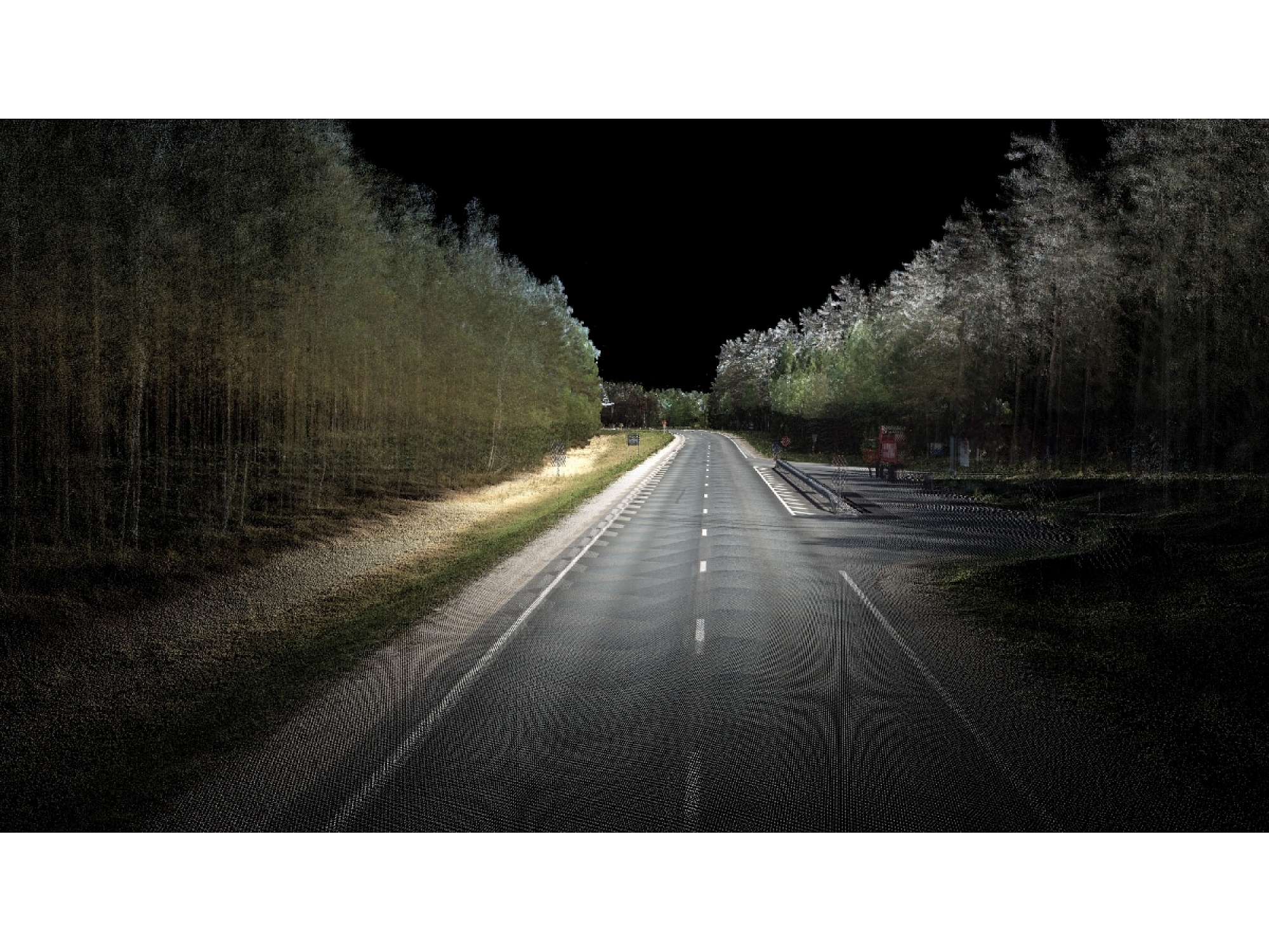
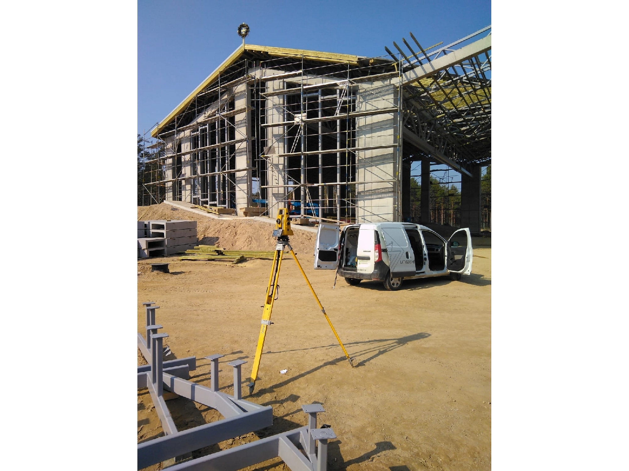
Our specialists use the latest technology in their daily work and our technical equipment includes: electronic manual and robotic tachymeters, digital levels, global navigation satellite system instruments, unmanned aerial vehicle, laser scanner
Services:
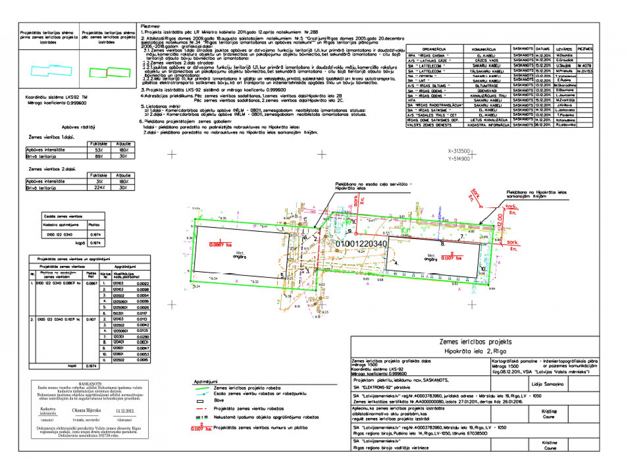
- Land cadastral surveying;
- Land use;
- Topography;
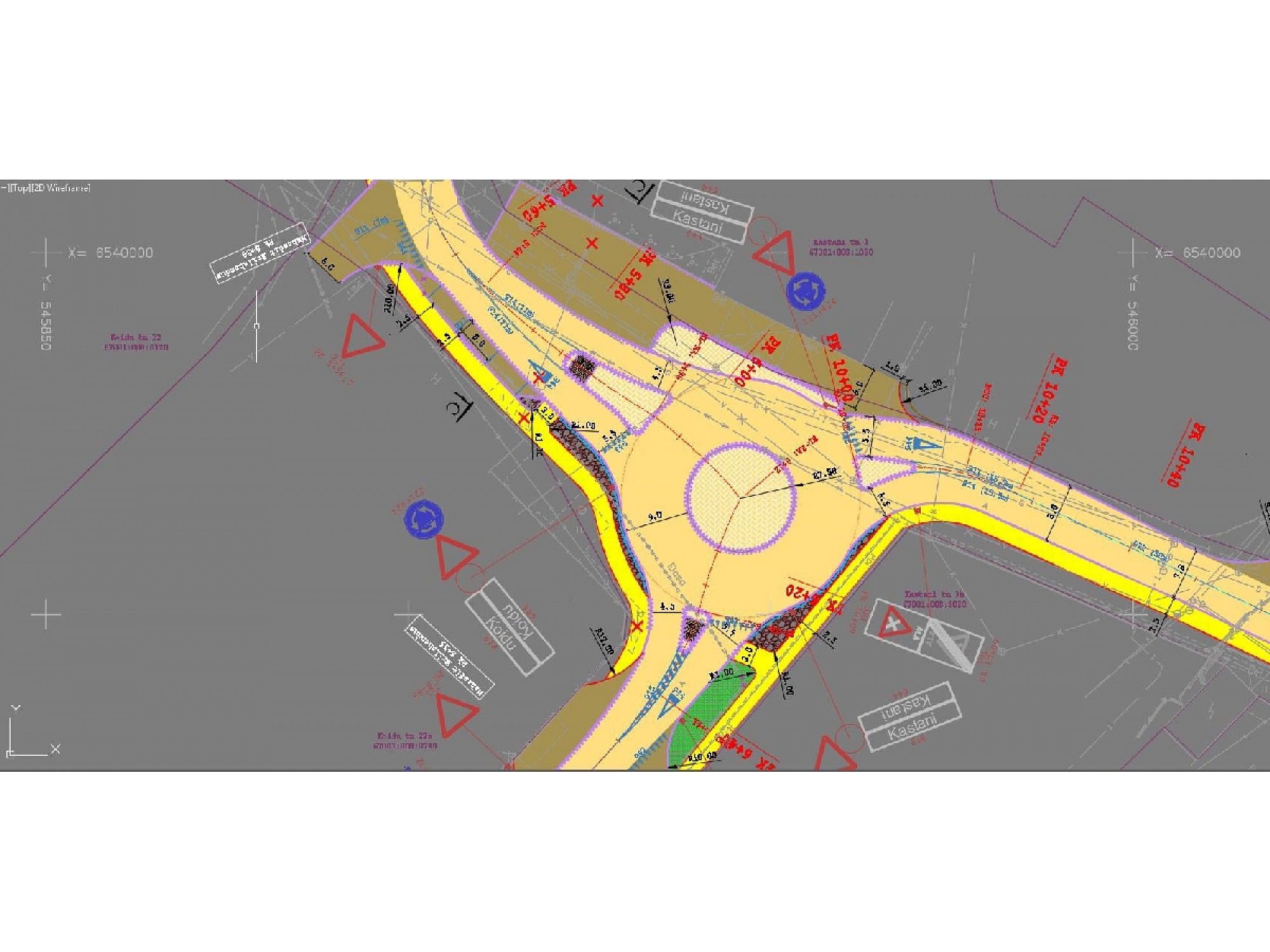
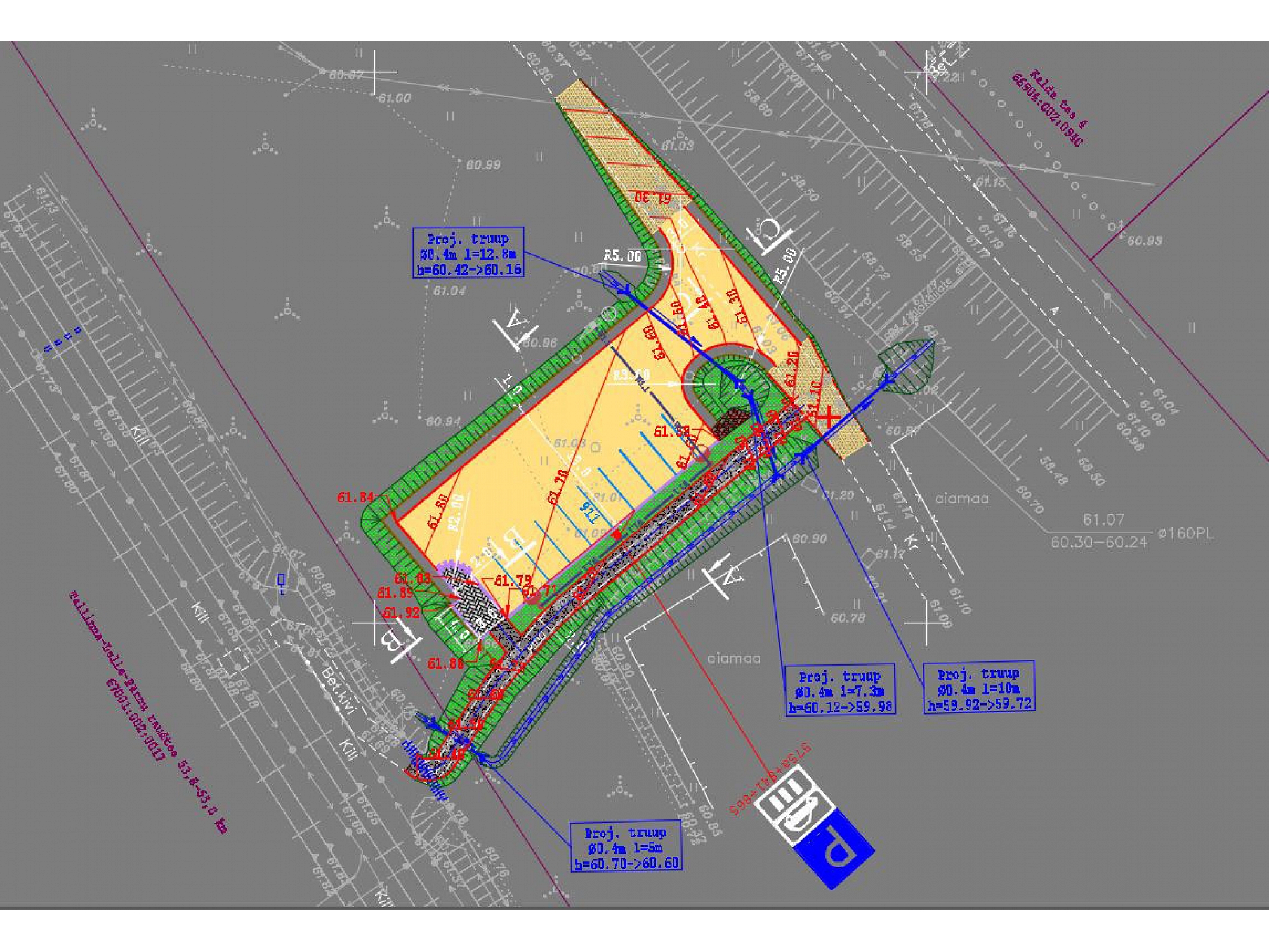
- Engineering geodetic works;
- Road designing;
- Geology;
- Aerophotogrammetry;
- 3D laser scanning.
You are interested in our services? We are here, to help!
A complete package of surveying services from the start of construction to commissioning.
Keywords
Surveyor works, surveyors, surveyor, surveying services, surveyor services, surveyor services, surveying office. Land use, land use planning project, land survey projects. Land surveying, land surveyor, land surveyors. Surveying, surveying works. Topography, topographical works, topography works, topography services, topographer, topographic research, topographical plan, topographical plans, topographical survey, topographical plan development, topo map. Water-pipe design, water pipe. Sewerage design, sewerage, water-pipe and sewerage. Geodesy, geodesic works, geodesist, geodesy services, geodetic research. Land cadastral surveying, cadastral survey, land surveying, land surveying, surveying. Land boundary surveying, land boundary survey, land boundary recovery, land boundary plans, land border delimitation. Border plan, border plans, boundary plans, border surveying, border measurement, boundaries marking. Land ownership splitting and merging, land survey works, land-use project development, ground instrument surveying. Land Register. Plan making. Surveying instrument rental. Optical leveler. Electronic tachymeter. Dual band GPS receiver. Geodetic support point network installation, geodetic support point network installation, using gps. Quarrying, quarry research. Earthwork amount calculation, excavation works. Calculation of the volume. Levelling. Geodesy. Engineering geodesy, engineering geodetic works. Geodesy and cartography works, cartography, cartographer. Detail planning, detail planning, detailed planning. Projects. Distribution. Utilities executable survey, executive survey, performance of executive measurements, executive measurements. Executive schemes. Structure and boundaries marking, delimitation, construction axis marking, building construction axis setting, building construction axis, construction axis. Land transformation. Support point. Reference points. Border sign renewal, landmarks. Road designing, roads, road drainage design, road melioration, road construction, street construction, parking lot construction. Commissioning. Hydraulic engineering inspection, hydro construction underwater inspection. Pond project development, pond projects, pond surveying. Forest land surveying, forest land. Mineral licenses. Areas surveying and preparation of plans, area surveying, area demarcation. 3D, 3D surveying. Laser scanning, laser scanner. Aerophotogrammetry. Aerial photo. Orthophoto. Orthophotography, ortho photography services.
Website