Rūķis AG, LTD
Reviews
Add a rating and review
Working time
- Sun-
- Mon800-1700
- Tue800-1700
- Wed800-1700
- Thu800-1700
- Fri800-1700
- Sat-
Business data
- EUR 286818 / 2024
- 8
- Service provider
Legal data
- 45102000581
- LV45102000581
- 21.01.1992
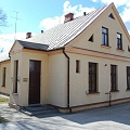
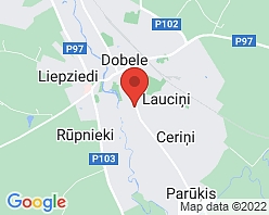
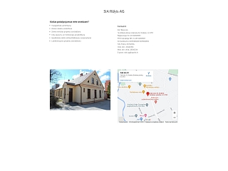
- Zaļā iela 32, Dobele, Dobeles nov., LV-3701
- 2024
BIS.GOV.LV information
- Ceļu būvdarbu vadīšana un būvuzraudzība
- Ceļu projektēšana
- Meliorācijas sistēmu projektēšana
- 2291-RA
- Aktīvs
Description
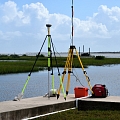
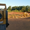
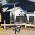
Surveying office "Rūķis AG" provides various surveying works - topographic measurement, surveying of land borders, development of land development projects and other works.
Keywords
Topography, border plans, construction axis marking, surveying. Surveying, geodesy. Surveyor works, design of drainage and roads, production of executive measurements, engineering geodesy, territory improvement design. Topographical survey, geodetic, engineering geodetic works, land survey projects, detailed planning, executive measurements. Land amelioration. Drainage in Dobele. verticality measurements, vertical control, horizontal control, building executive measurements, structure deformation measurements, geodesy, geodetic control mapping, geodetic support point surveying, installation, geodesist, engineering geodesy, executive documentation preparation, Executive measurements, executive schemes, performance of executive measurements, developed gravel quarry surveying, cadastral survey, cartography, cartographer, communications executive schemes, executive survey, structure placement test, line setting in nature, surveying, surveying firm, company, surveyors, woodland transformed area surveying, site maps, plans, project point setting in nature, border plan, border surveying, border sign renewal, red line setting, certified surveyors, scheme production, volume calculation, topography, topographical survey, topographic maps, topography and land use planning works, track marking, surveying, land survey projects, land use, land cadastral surveying, land surveying, surveyors, land boundary surveying, transformation.

